
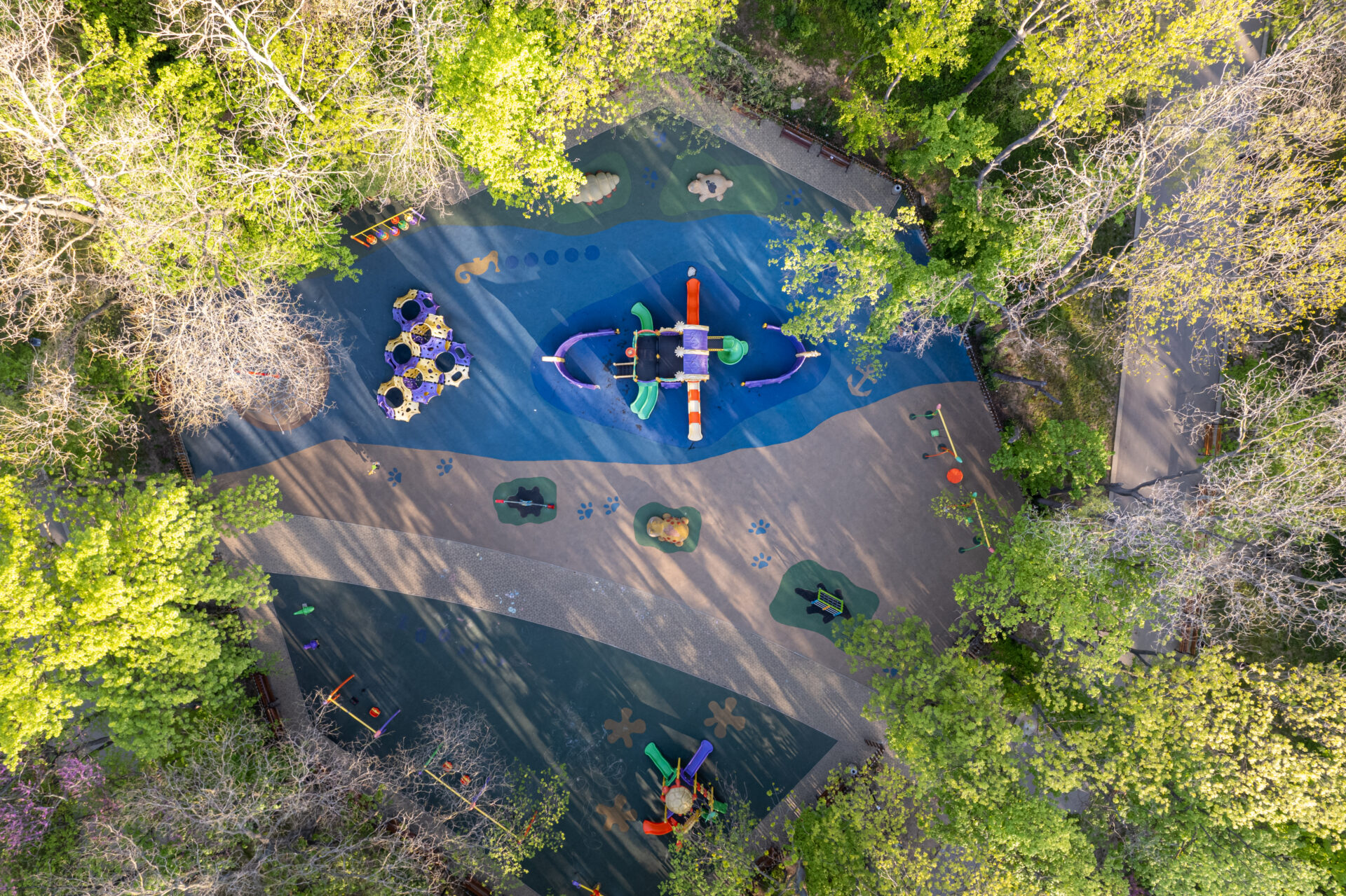
Do You Know Where the Playgrounds Are In Your City?
Not sure? You are not alone. Many cities lack proper data on playground locations, making it harder for families to find places to play – and for urban planners to create child-friendly spaces.
Introducing Playscapes
Playscapes is an interactive web-based map of playgrounds. We have teamed up with the Swedish consultancy firm Spacescape and web designer On A Wednesday Afternoon (OAWA) to build a map of playgrounds – starting in Europe and North America.
Coming in 2025
The first version of the Playscapes will be launched at the end of 2025. The web map will be available right here, on our website, and show playgrounds as well as the playground accessibility of neighborhoods.
For Families and Urban Planners
Play is essential for children’s health and development, yet playground access varies widely across cities. In many areas, there is often a lack of data and knowledge on where playgrounds are – or where they are needed.
A web-based map of playgrounds can help families find good places for play, encouraging outdoor activity, and urban planners use data to identify underserved areas and improve playground access. Playscapes can also support research in urban planning, child well-being, and public health. By integrating GIS, open data, and smart city strategies, the platform will help create more sustainable and inclusive urban environments.
We Need Your Help!
We need your help to make the Playscapes web map as accurate and complete as possible. Know of any online maps, datasets, or tools for playground mapping? Share them with us here:
Want to Know More?
📍 Read about the project here.
And stay tuned on our social media for updates!