Playscapes – Development of a Web Map of Play Places
Introduction and aim
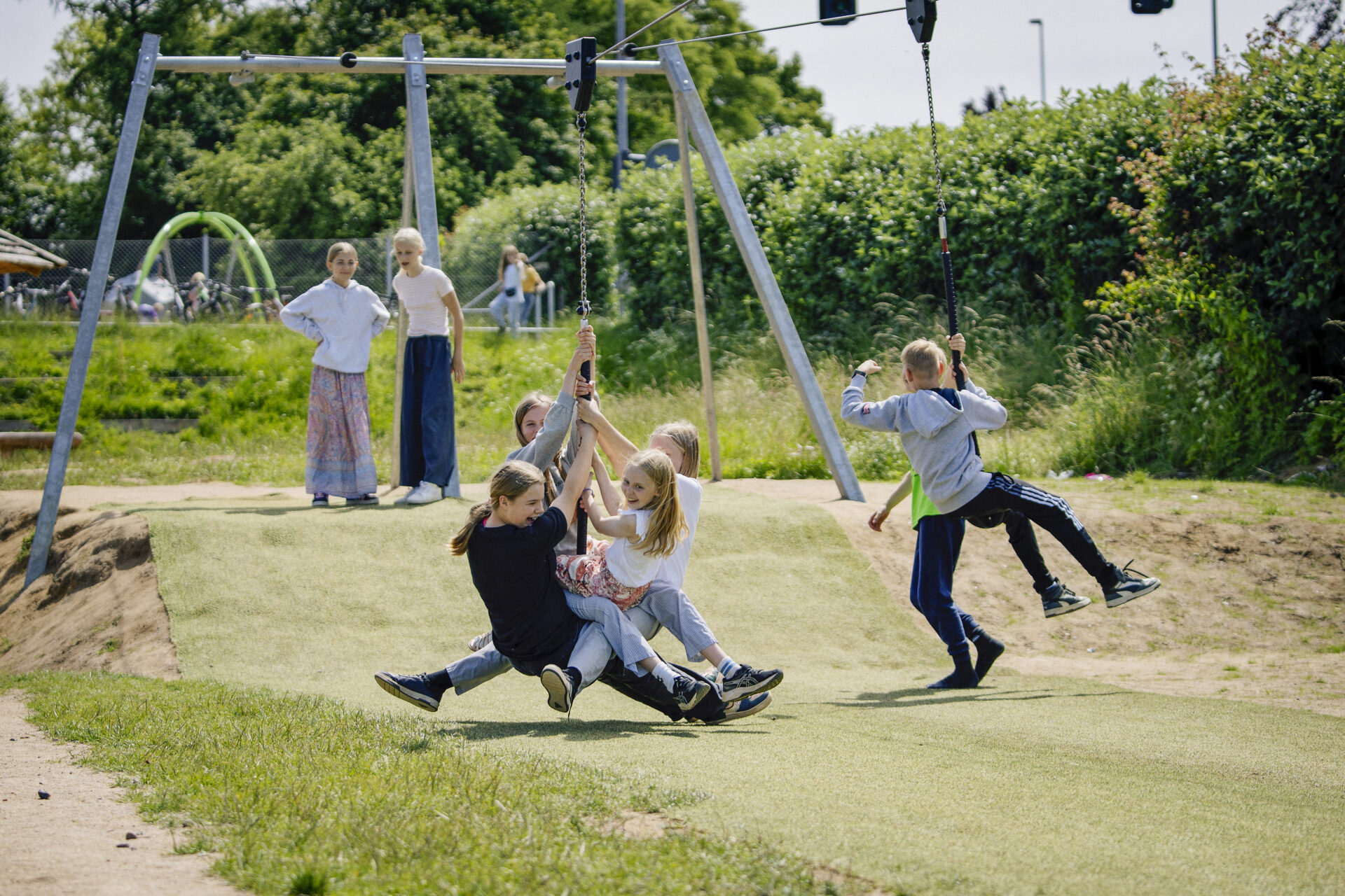
Access to places for play is crucial for children’s health and development. Studies show that there can be large differences in playground access in cities around the world, but also that there often is a lack of data and knowledge on access to places for play.
A web-based map of playgrounds and other places for play can help change this inequity by supporting urban planning and academic research. A worldwide playground map can also help families find good places for play, promoting outdoor activity and child development. Urban planners can use spatial data to identify underserved areas, ensuring equitable distribution of places for play.
The web-based platform will support research in urban planning, child well-being, and public health by providing insights into playground accessibility. By integrating this with smart city strategies and leveraging GIS and open data, this initiative fosters the development of sustainable and inclusive urban environments.
It not only improves public health and social interaction but also supports data-driven policies for future playground investments, creating healthier, smarter, and more child-friendly cities.
Timeline
What we expect
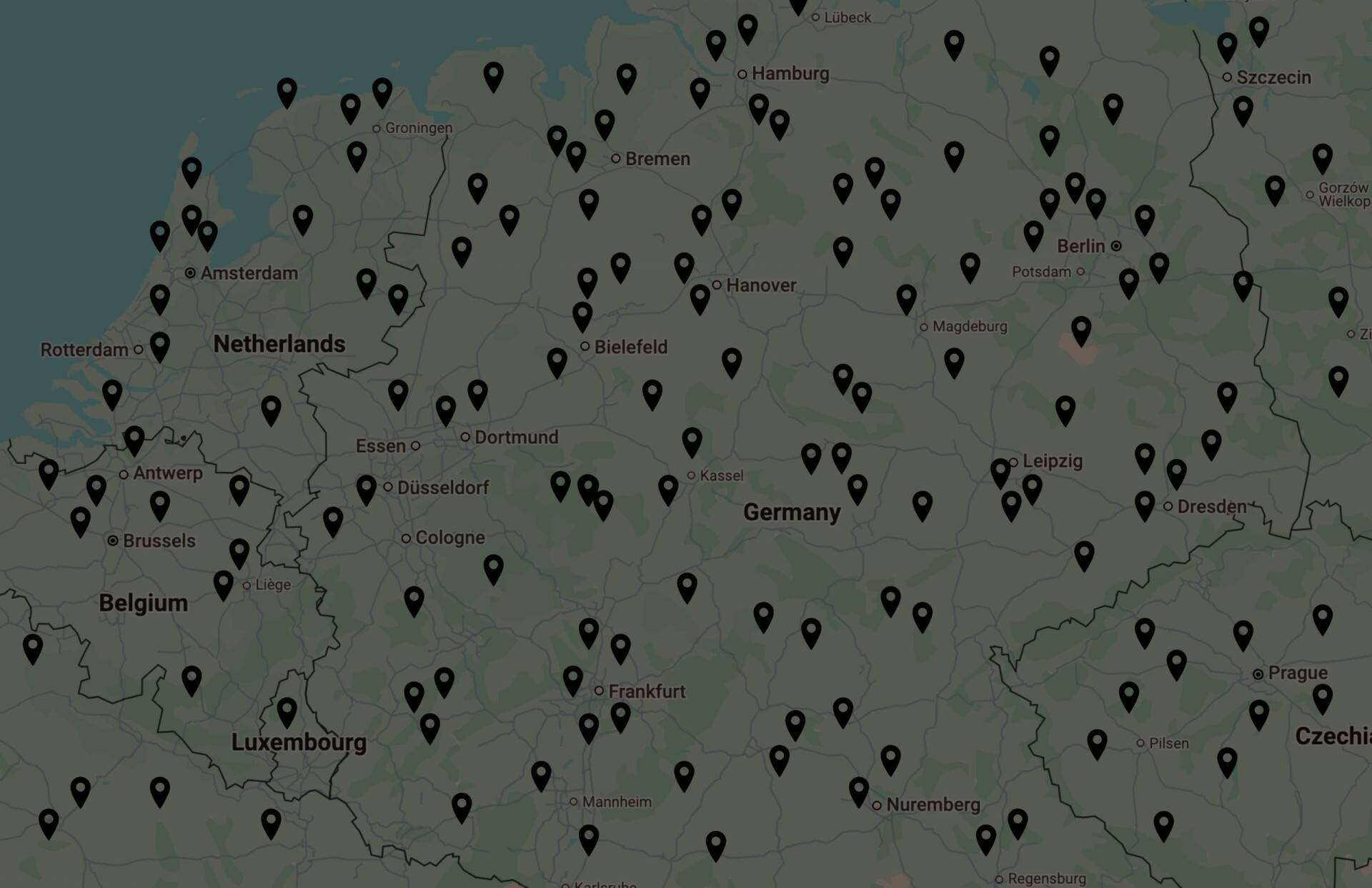
The web map will be developed by the Swedish planning consultancy Spacescape and web designer On A Wednesday Afternoon (OAWA) in collaboration with researchers at the University of Southern Denmark. Together, they will develop an interactive digital web map of playgrounds in European and North American cities. The web map will be available at playgroundresearch.org and show playgrounds as well as the playground accessibility of neighborhoods.
In its first version, the web map will cover European and North American cities with more than 500.000 inhabitants. From the base model, there are many opportunities to add more analytic features and data points, such as sports fields, schools, and smaller cities.
Funding
This project is funded by KOMPAN.
Research Team

Research Partners

Research Partner

Research Partner

Research Partner